NWS Issues High Wind Advisory in Excess of 55 mph for PNW
Wind advisories, red flag warnings and high fire danger are worrisome elements today.

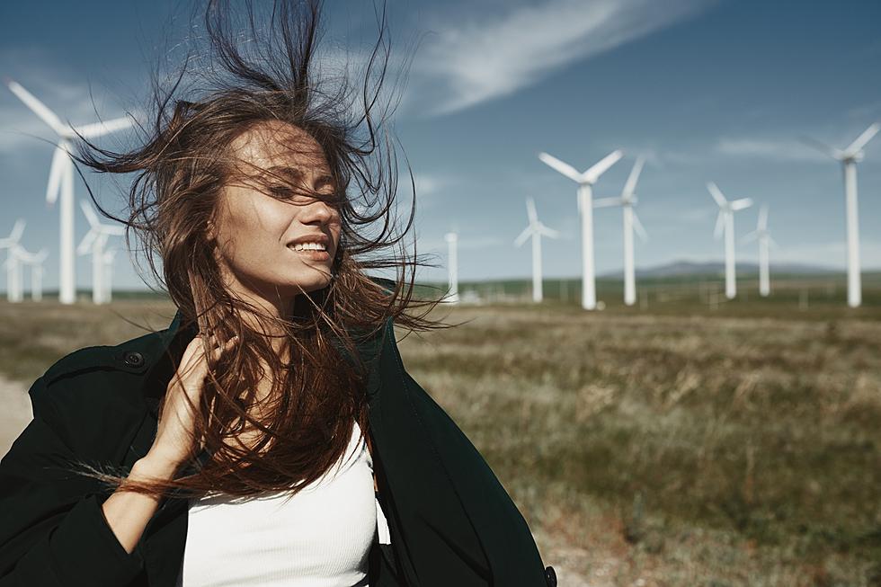
According to the National Weather Service in Pendleton, an unseasonably strong, cold front is sweeping across Washington and Eastern Oregon. Red flag warnings and wind advisories are posted throughout the lower Columbia Basin, Eastern Columbia River Gorge, and North Central Oregon. The strongest winds will happen in the later afternoon and evening hours.
Hang onto your hats and anything else that can blow away.
Be sure to secure items that won't stay in place, like your garbage cans and lawn furniture. You may want to bring some items indoors. it's interesting what you'll find in your yard sometimes, after heavy winds.
A Red Flag Warning is posted till 9 pm for the Lower Columbia Basin of OR and WA.
A Red Flag Warning means that critical fire weather conditions are either occurring now, or will shortly. A combination of strong winds, low relative humidity, and warm temperatures can contribute to extreme fire behavior.
Any fires that start will have the potential to spread quickly.
And, according to the Washington State Department of Health, wildfire smoke in Washington is expected to be higher than average this season. Never throw cigarettes or matches out of a moving vehicle. And, remember to check trailer hitches when towing. Make sure chains are NOT dragging on the ground. Sparks could ignite a wildfire. Don's drive in dry, tall grass. The hot underside of your vehicle could ignite the grass.
Check out more from KEPR's Jefferson Donovan:
7 Best Bike Trails in Tri-Cities, Washington
Chasing Lewis River Falls Waterfalls at Gifford Pinchot National Forest in WA
Most Outstanding Italian Restaurants in Tri-Cities
More From 97.1 KXRX


