New Washington Map Helps Drivers Avoid Deer/Car Strike Locations
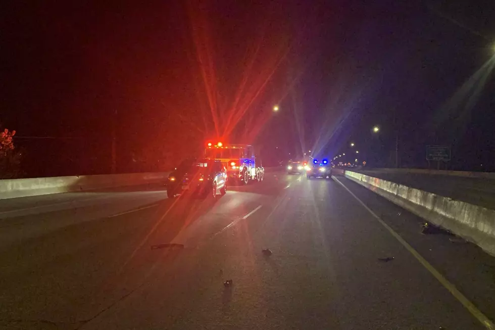
Deer rutting season just started in Washington State, and this newly released map can help drivers avoid areas where car/deer strikes happen.

Washington State Released a Car/Deer Strike Map for Drivers
You may not know anything about deer rutting season, but the one thing you should know it is the time of year to watch out for them sprinting into the road as you drive around Washington State. This time of year deer are frisky and are trying to mate. It is also the time of year with the most car/deer strikes by Washington State drivers. Not only are they in the middle of mating season, but they are also migrating which compounds the problem. That combination makes this time of year dangerous for unsuspecting drivers traveling through the Washington State countryside.
Deer Strike Map Shows Locations of Deer Carcus Removal
To help drivers know where most car/deer strikes occur in Washington State, they have released a detailed map that shows the concentration of deer strikes in any given area. The cost of hitting a deer with your vehicle is over $14,000 per incident, leading to over $187 million in damages for Washington state every year. They estimate that over 13,000 vehicles hit deer in accidents every year, especially during their most active times both dawn and dusk. You can check the map out for yourself or find all the known trouble areas in a short condensed list below.
Eastern Washington
-US 395 from Chewelah north to Kettle Falls
-US 2 from North Spokane to Cusick, US 2 north of Spokane
-State routes 124 and U.S. 12 from about Lamar up to Highway 261
-I-90 near Sprague.
Central Washington
-Highway 97 near Blewett Pass and Riverside and Tonasket
-U.S. 97 north of Goldendale
-I-90 in the Easton/Cle Elum.
Western Washington
-State Routes 20 and 525 on Whidbey Island
-US Highway 12
-I-90 near North Bend.
Highways 101 and 4 close to Willapa Bay.
-US Highway 101 between Port Angeles and Sequim
-Interstate 5 in southwest Washington
6 Dangerous Atmospheric River Storms That Hit the West Coast
More From 97.1 KXRX

