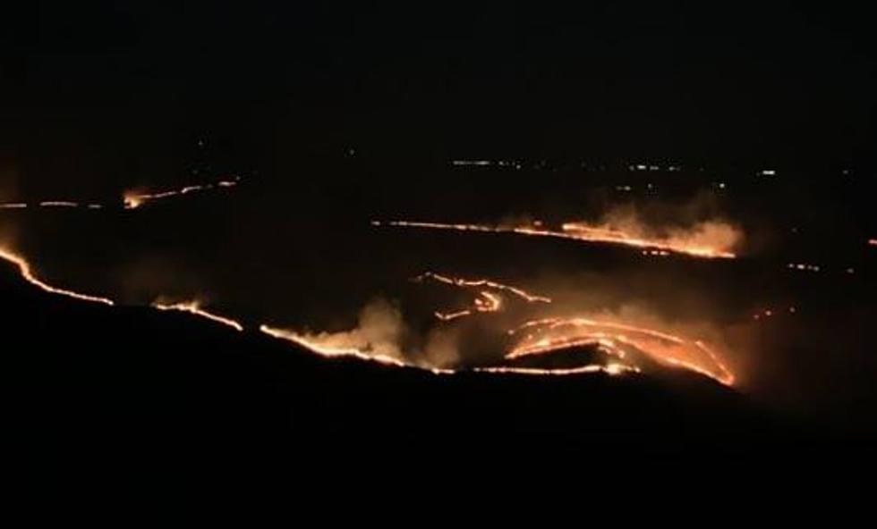
Fire Danger Rises in Benton County This Week
Due to dry conditions and warming temps, the fire danger in Benton County has gone up.
No outdoor burning of any kind
Benton County officials on Friday (June 2) raised the fire danger level to moderate, up from low. According to the county, these are the different levels:
"Low - Fire starts are unlikely. Weather and fuel conditions will lead to slow fire spread, low intensity and relatively easy control with light mop-up. Controlled burns can usually be executed with reasonable safety.
Moderate - Some wildfires may be expected. Expect moderate flame length and rate of spread. Control is usually not difficult and light to moderate mop-up can be expected. Although controlled burning can be done without creating a hazard, routine caution should be taken.
High - Wildfires are likely. Fires in heavy, continuous fuel such as mature grassland, CRP fields and forest litter, will be difficult to control under windy conditions. Control through direct attack may be difficult but possible and mop-up will be required. PUBLIC OUTDOOR BURNING IS NOT PERMITTED with the exception of a legal recreational fire within a metal fire ring."
Ag burns are permitted but require special permits and prior notification by ag producers with county officials.

With temps reaching into the 90s this week, it is possible fire danger could tick upward again.
LOOK: The most extreme temperatures in the history of every state

