Rare & Unexpected Atmospheric River Drenches Washington
We’re barely halfway through August, but soon it will feel like November. After baking in the summer heat, Washington is about to flip the script.

According to online meteorologist Scott Sistek, this next round of rain has now been called “Freakier Friday” because summer and fall are seeming to swap spots on the calendar.

This Is Not Your Average Washington Rain in the Fall
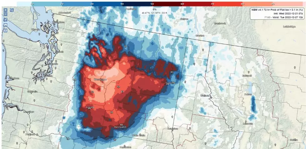
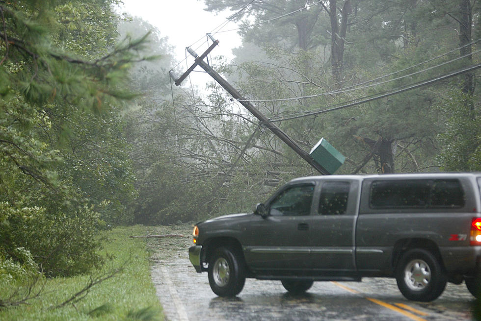
What’s making this system so unique? A strong low-pressure center has tapped into strong Pacific moisture, making Washington State much wetter than normal. That basically NEVER happens in August and is greatly needed, but there will be costs.
Experts at San Diego State University, who monitor and rank these moisture surges, are calling this a Level 3 atmospheric river (out of 5). That's normal in the deep fall or winter, but for August is a 1-in-10-year event or longer.
When and How Much Rain?
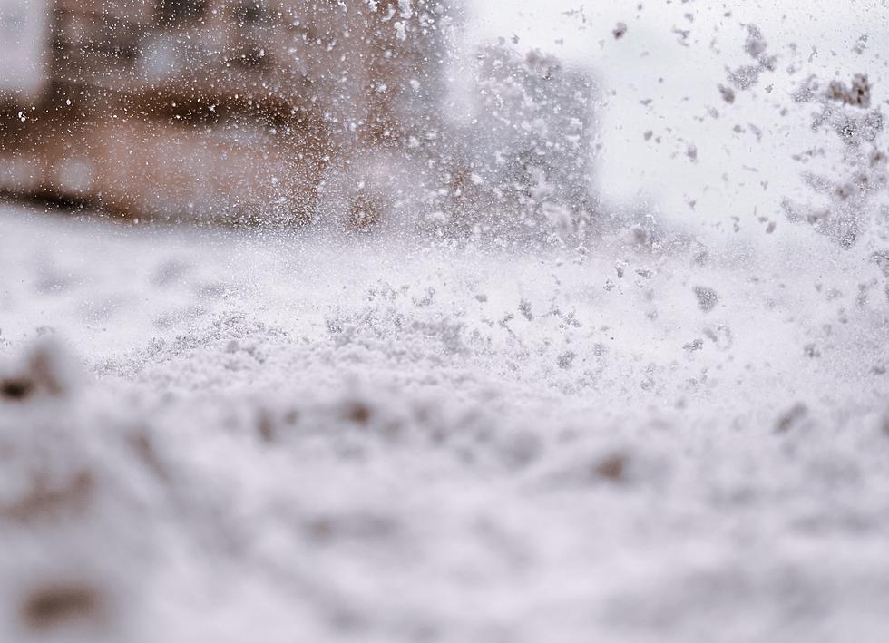
The first signs arrive Wednesday night into Thursday, with heavier rain Friday night into early Saturday. Seattle could see around 0.75 to 1 inch of rain. The mountains could see up to 3 inches with snow levels (yes, I said snow) dropping to 8,500 feet.
Read More: That's Not Tint! Washington State Trooper Tickets Soot-Covered VW
Read More: Car Cuddle? Rear-End Romance on I-5 Leaves Drivers Unhappy
These Deliciously Retro Food Photos Will Make You Hungry for the '70s
Gallery Credit: Stephen Lenz
More From 97.1 KXRX